Monday, May 5, 2014

Fakarava - heading north to Rotoava village

Our anchorage in the south west corner was lovely, but cut a bit short due to a weather system approaching from the west and north. We were fortunate to meet Livia and Carol on Estrellita who have been cruising the Tuamotus for about 2 years. We followed their track to the south pass where we'd hoped to hang on a mooring for the bad weather. Unfortunately, the mooring had sunk and wasn't there, so we decided to remain in the atoll and head for the north pass. An anchorage about half way up the atoll seemed a good idea to stay for an overnight.

We anchored near a channel marker. This ended up being very fortuitous. Bill changed the oil in the engine while I prepared dinner. During the night, we had heavy rains with thunder, lightening and wind. We kept a minor watch. It was difficult to discern where anything was- the ocean and the sky seemed to merge into one and the shore was not visible so our bearings were obsolete. The beacon was our only point of reference plus the GPS. When the sun came up, we fired up the engine and had a quick look to make sure all was well following the oil change - and discovered a leak in the saltwater pump. Major bummer! Together, we quickly dismantled the pump replacing the seals. All in all it took about 2 hours to complete. Not sure why the seal failed as it was replaced in Ensenada and only had 100 hours of use. Spike (friend) warned that the new style of seal supplied by Westerbeke wasn't trustworthy and gave us some original seals as a precaution. Ended up, he was right! But that's no surprise if you know Spike.
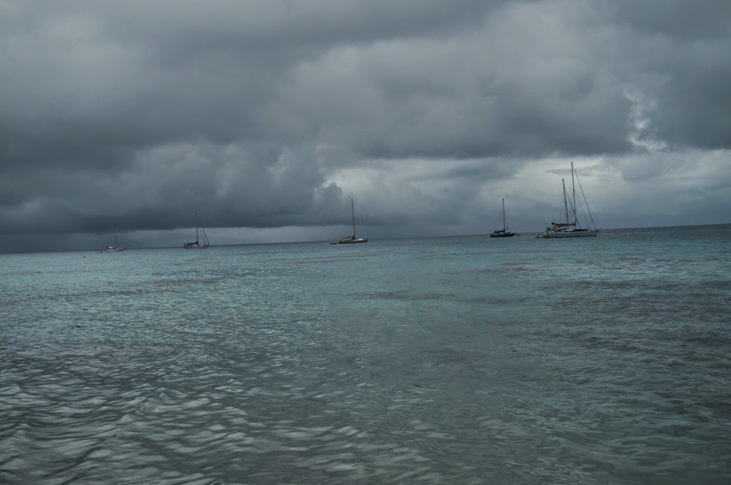
Squalls

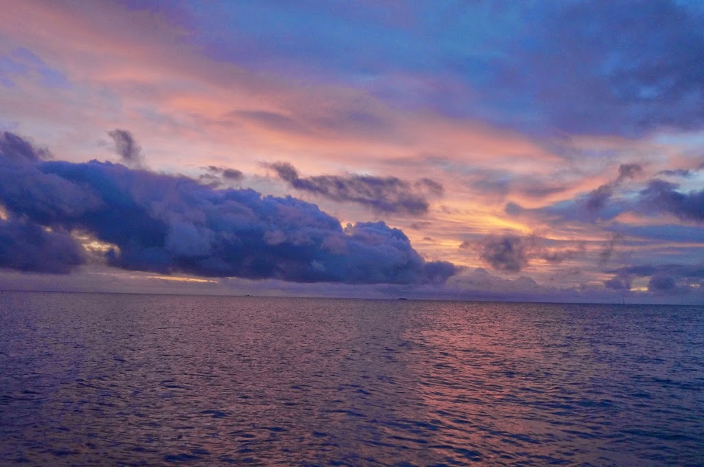
So, we pulled the anchor without incident (didn't get hung up on any coral) and went north. Sure enough, we had lots of rain. It's ok - we still managed to enjoy our coffee! We made it to the northern anchorage and dropped the pick. That's where we are now! Here's a nice sunset pic:

Sunset at Rotoava
 Again, we had heavy rain from 1630 till sometime after we went to bed. The dinghy was half full of rainwater by morning. We washed some clothes and filled the solar shower with the fresh water!

Filling buckets and the solar shower

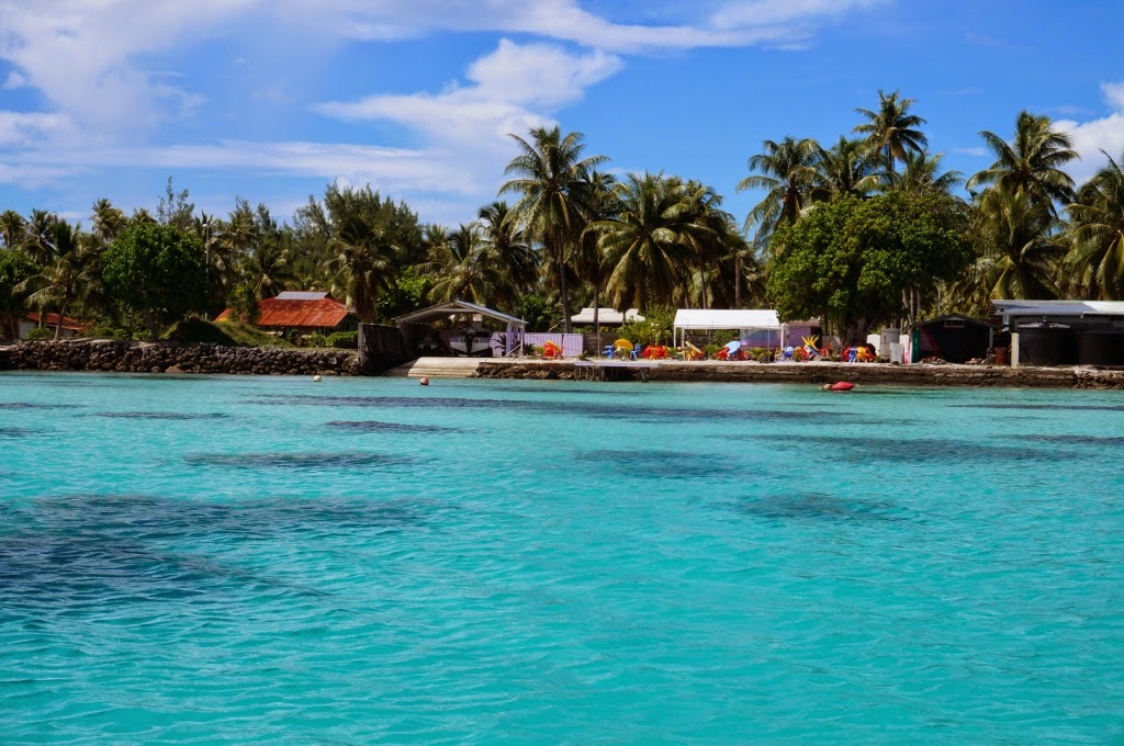
Shops at Rotoava

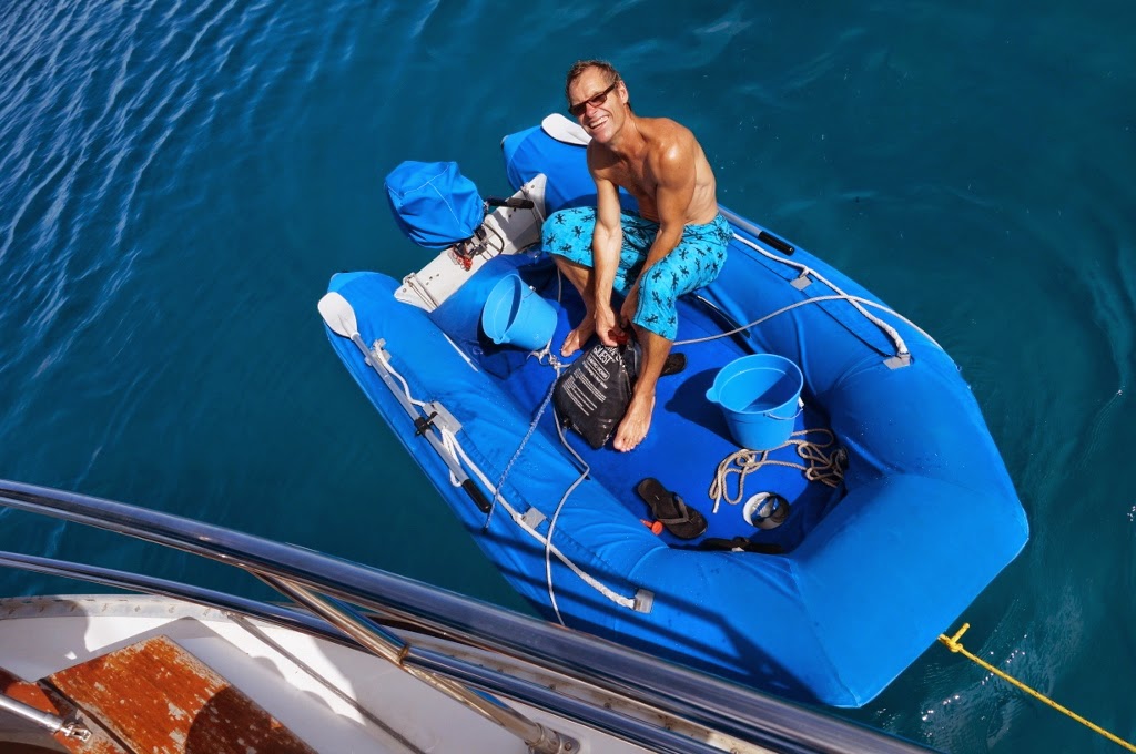
Bill securing the dinghy to go ashore

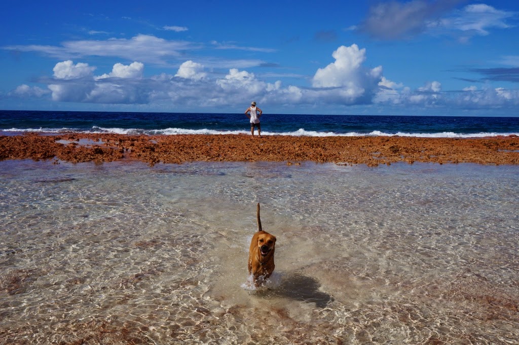
The exposed ocean side of the atoll. Bill made a new 4 legged friend along the way.


Bill finally got ahold of the camera!

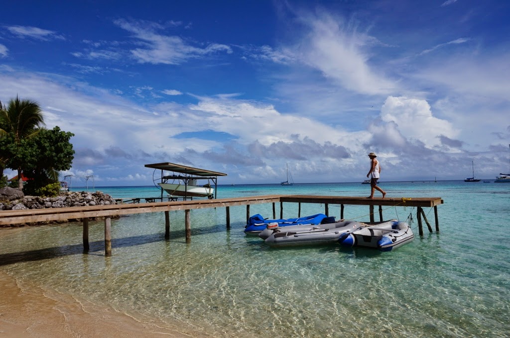
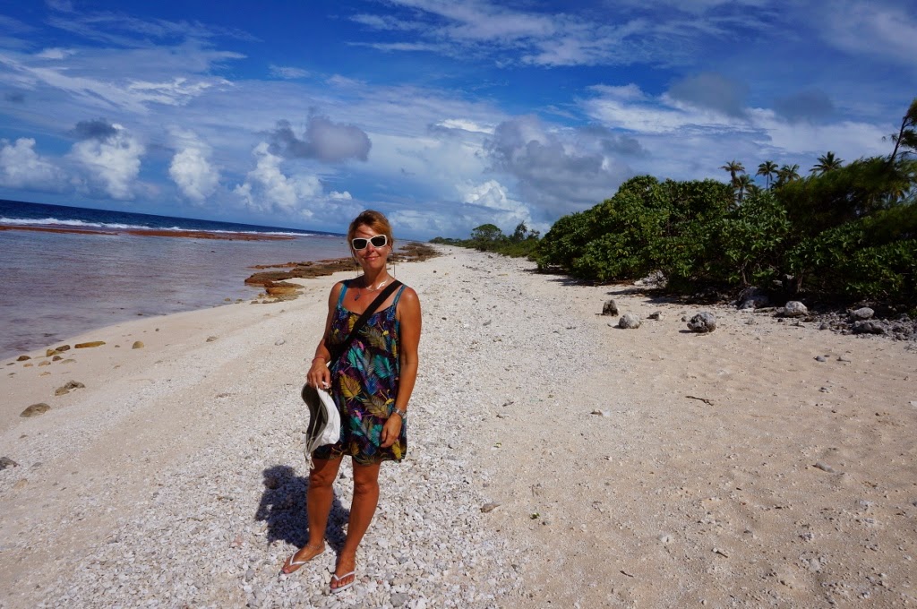
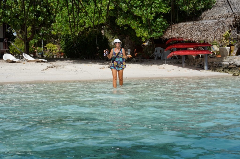
Took a walk along the lagoon.

Looked like a good place for a cold drink!

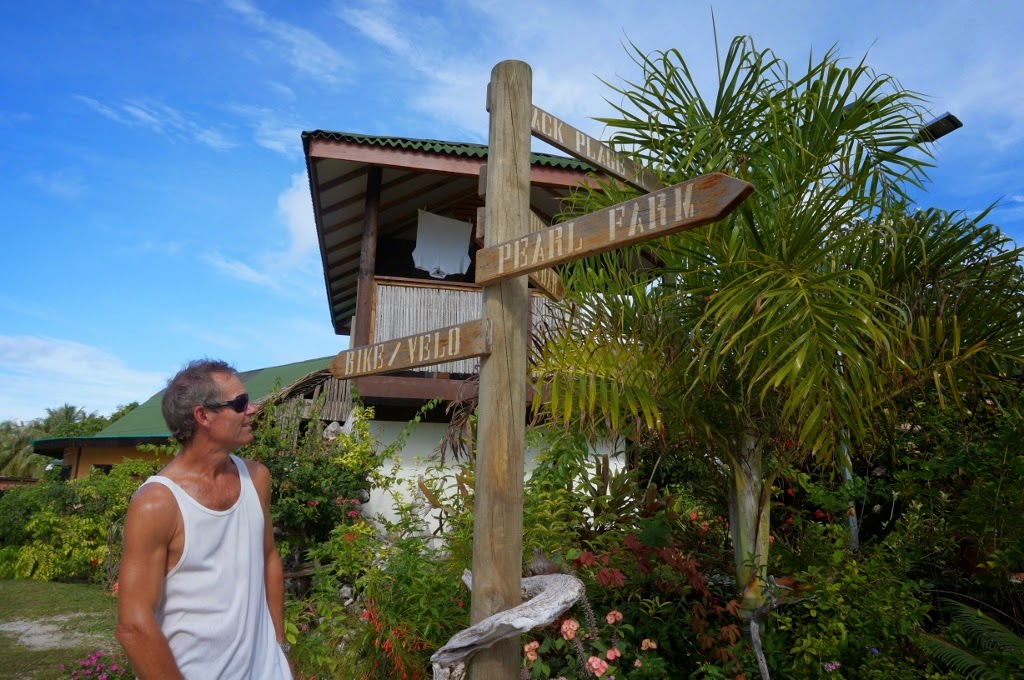
Bike? Velo? Ours are still in Switzerland!

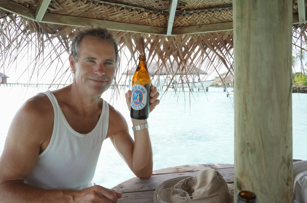
Aaaaah. Cold Hinano beers...

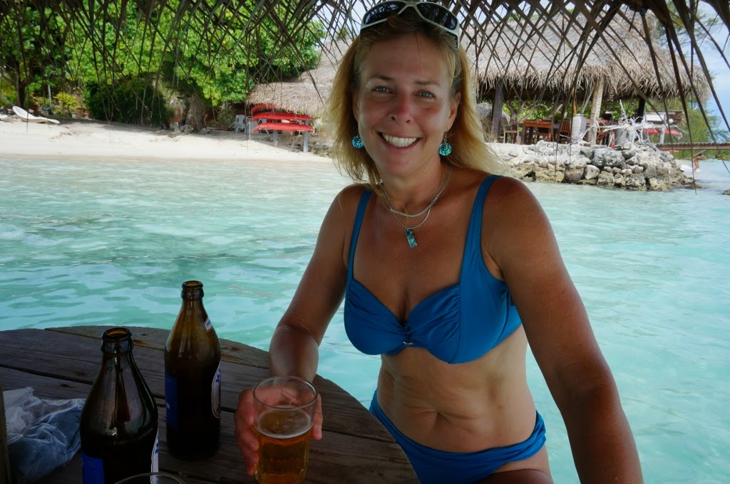
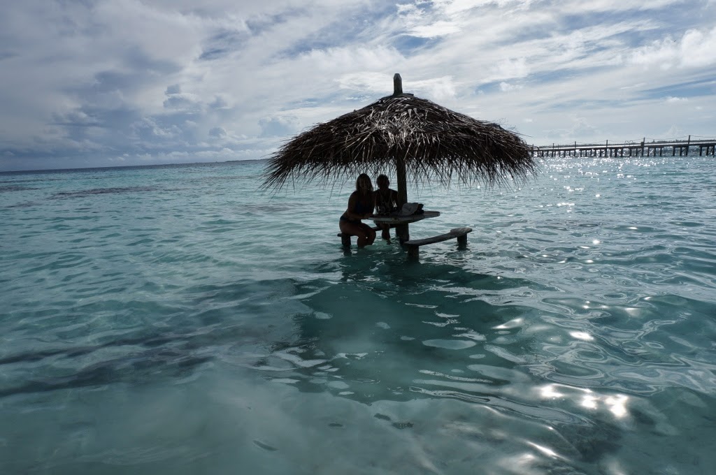
The tables were in the ocean. Nice and cool!

Aaaaaahhhhhh

That's us!

 
Standard activity following beer drinking.
 We are leaving tomorrow, the 6th of May to head for Tahiti/Moorea. We feel the atolls are a little to precarious for our comfort. Anchoring is difficult (we've had ours tangle twice) and there's no easy escape route in the event of bad weather. The prevailing SE winds are not present and we continually find ourselves wondering where the wind will come from next. So.... we're outta here! Tahiti - here we come!
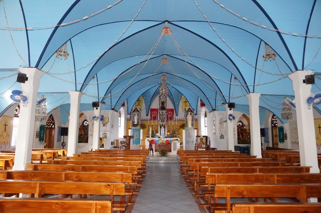
The local church in Fakarava - shells were strung everywhere with had sewn tapestries. Very pretty.

Fakarava and the Tuamotus

We made it to Paradise!! NOW we remember why we’re doing this!

The Tuamotus are stunning. We arrived at the Fakarava atoll during slack tide at 10:30 and cleared the pass without incident. Being our first entrance into an atoll on our own, we were apprehensive. The guide portrayed the pass as something quite long and treacherous. Bill was at the helm while I was on the bow with binoculars and keeping an eye out for coral heads.  Then… almost as soon as we entered the pass - it was all over! It only took about 3 minutes and was surprisingly simple. All that worrying for nothing! There were a few picturesque thatched huts in the entrance luring us in and we passed a fizz boat filled with tourists. I’m afraid we’ll be in a lot of unknown people’s trip photos!

Approaching Fakarava's south pass

Looking out

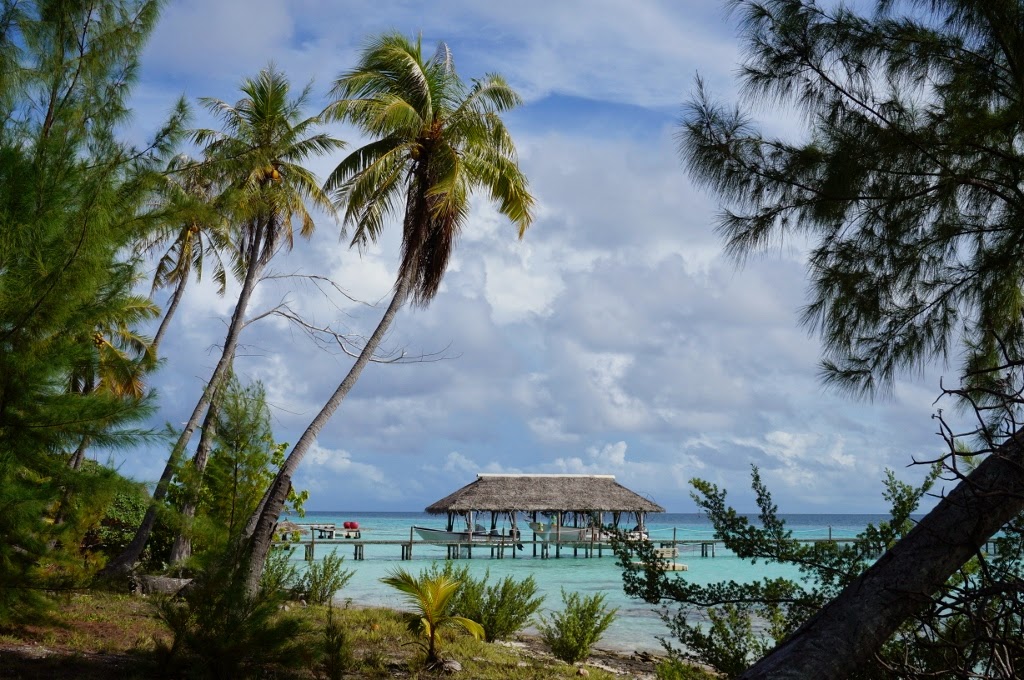
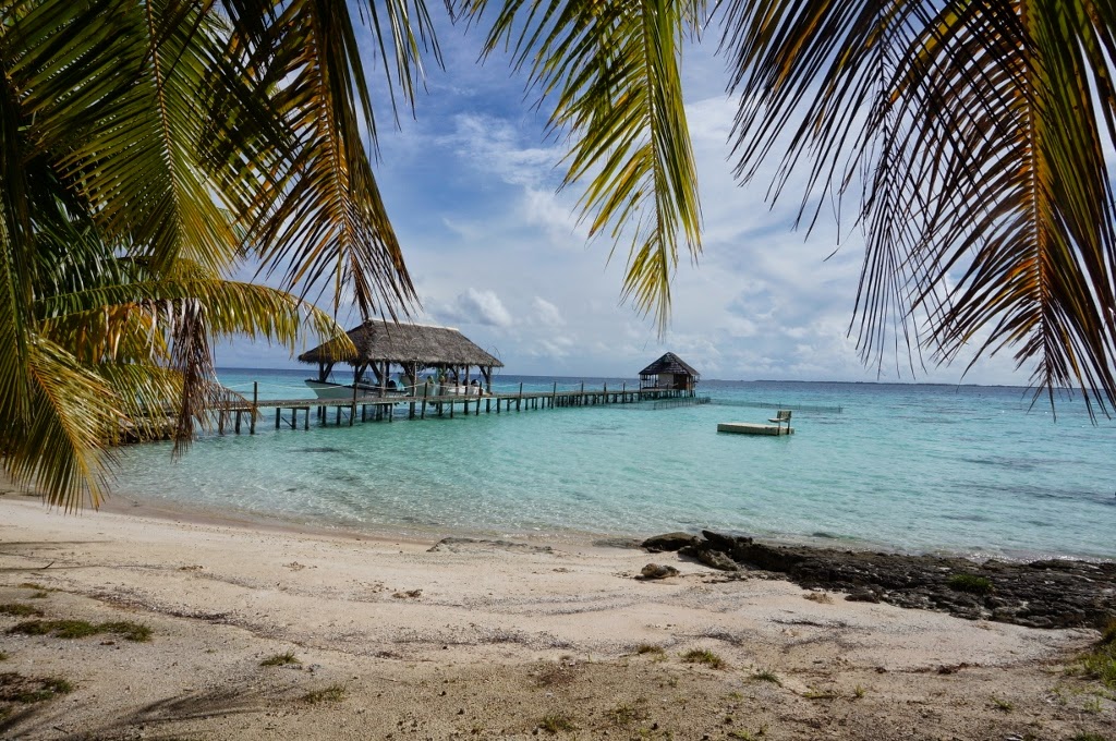
Hotel bungalows in the southern pass of Fakarava
Inside the atoll
Once inside the atoll, we had to clear a fish farm and choose where to go. The guide book explained the eastern half of the atoll was charted, but not the west. The prevailing winds here are from the south east, however on arrival they were from the south west. On the western corner of the atoll, there was an inviting area of particularly beautiful crystal clear water and a cluster of sailing boats and catamarans just to the west… so what do we do… we went west. It was like chocolate, we just couldn’t resist the temptation! We thought, “heck, if they can get there, why can’t we?”. Well, they must have had some local knowledge that we didn’t have. It was probably the craziest bit of maneuvering we’ve ever done, and I hope we never have to do it again! Bill was at the bow looking out for coral heads while I helmed the boat. We zigged and zagged our way through a garden of flowering coral. Bill was giving some crazy arm signals as though he was an overzealous referee giving penalties at a foosball table game! Left arm UP, right arm UP, left… right… right,right,right… straight, LEFT, etc. I stole an opportunity to look at one of the passing heads and man, they were barely under the surface. Yikes. Then I couldn’t look anymore since I had to keep such a close eye on Bill’s arm signals! Fortunately, the conditions were perfect with no wind and the sun high in the sky which is optimal for reef navigation. Once we made it to the other boats, we realized there wasn’t a lot of room to anchor amongst the coral and decided it was too tricky for us and wanted to get the hell out of there. A French couple approached us in their dinghy and explained that we way we came was “too dangerous”. We got that information a little too late. Because we couldn’t reach the safer route out, we had to go back the way we came! Aargh! They were really nice about it and wished us luck. So, off we went – zig zagging our way back. What a bunch of dopes! Although it was dangerous, it really was quite comical.  

Once we were back at the entrance to the atoll, we sighed in relief and vowed not to do something so incredibly stupid again! Knowing us, we probably will though J. So, now we were heading east – where we were supposed to. We tried anchoring near the entrance at the southern end of the atoll, but had trouble finding a clear area of sand to lay the anchor without fouling on a clump of coral. We made an attempt, but sure enough it caught. We managed to hoist the anchor with some difficulty – the bow was being pulled down instead the anchor going up – it’s supposed to be the other way around! It finally freed and off we went again to the far eastern corner of the atoll where we found a beautiful sandy anchorage. We finally paid attention to what the guide book said. En route, we did discover uncharted coral reefs so had to really pay attention during the hour long crossing. Now here we are anchored in crystal clear turquoise water with a white sandy beach covered in coconut palms. Heaven.

After securing the anchor, we stripped off our clothes and immediately jumped in the water (sorry to put that image in your heads!). There are loads of little fish, and the water is a warm  28 C. This anchorage makes it all worth it. And we finally opened the bottle of champagne! We were supposed to have it when we crossed the equator - but it was too rough. Then we thought we’d have it when we arrived at the Marquesas - but it was too rolley. But now… it’s JUST RIGHT!
Navigating in the atoll

The beach from a distance

After a swim and a bit of champagne


Cruising is pretty great!
 Note: We ended up leaving this bay before we could take photos as bad weather approached and we had to get outta there!

Leaving the Maquesas for the Tuamotus

Seems 4 boats in the bay at Nuku-Hiva decided at the same time to pull up anchor and head for the mouth of the bay, a Swiss from Basel, an Australian and a Swedish boat. The Swedish boat swung by and told us he was also off to the Tuamotus. The other was a Bavaria with an Australian flag whom we didn’t communicate with.

We watched them power out ahead while Carolyn dodged around some outrigger canoes, the other 2 boats hoisted their main sails. By the time we cleared the outrigger canoes a rain squall hit us so we waited….big mistake. By the time the squall passed we had reached the mouth of the bay where we encountered the full force of the ocean swells driven by the trade winds. In order to hoist the main sail one has to point the boat into the wind and hence into the ocean swells. It makes for an up and down sloppy uncomfortable ride which requires total concentration for every movement especially once you leave the safety of the cockpit and move forward on deck.

OK back to the business of hoisting the main sail. It requires attaching the halyard (this is the rope that is used to pull the sail up) to the clew (a reinforced hole at the very top of the sail). Times like these you really could use a Brand or a David Andrews or a Jimbo Oberst IE someone with more height. Having none of those on board means yours truly maneuvering his 51 year old bones up onto the granny bars. OK granny bars are like a 3 foot high gate designed to prevent you falling while you work on the mast). Once standing on the granny bars the halyard can be attached to the top of the sail.
The above was completed without much elegance and plenty of grunting and no doubt would make a funny movie, as we watched the other 2 boats disappear over the horizon, both having missed the squall and no doubt without the gymnastics we experienced hoisting the main sail. Still once we set the mainsail with one reef (a reef is basically a reduced sail in that the whole sail is not used) and just the staysail (the staysail is the middle sail between the main sail and the sail at the very front the yankee) we were sailing at 6 to 7 knots. With about 440 n miles to go we estimated 4 days and hoped to make a landfall in Mahini an atoll to the North of the Tuamotus.

Best laid plans
Well an estimated 100 miles a day turned into about 150 + miles a day with beautiful sunny days and long ocean swells, the first we had experienced and by far the best sailing conditions so far. In fact other than rolling out the yankee genoa we never touched the sails. But and isn’t there always? We now faced the predicament of arriving at night as we were sailing too fast. One thing should be mentioned about night arrivals – it’s a no no unless you know the area, and also that the area has no hazards.


Atolls
Atolls are like a coral necklace of reef in the middle of the ocean and in this case the trade winds. Parts of the necklace are high enough to support palm trees and these parts are where the people live, not that there are many! Of course there is a break in the necklace where the ocean can flow in and out called a pass. We do have a guide book thanks to the helpful Kevin in Nuku-Hiva and it describes a number of atolls and their passes. The passes vary in characteristics some can only be entered at slack tide (when the natural flow of water in or out of the atoll is at its minimum). The flow of the tide in or out in some passes can exceed 5 knots…..and our boat under motor barely does 7 knots. Bit like trying to overtake a Mercedes with a Fiat 500 or a 3 wheeled Gremlin.

Change of plans
Given our original destination Mahini was out of the question due to the night arrival we decided to head about 100 miles south west to make the South West pass of the atoll called Fakarava. According to the guide this was an easy pass with only a 4 knot flow in the worst conditions. C bless her heart had downloaded tide tables and calculated the best time to enter the pass. We calculated we needed to maintain a boat sped of about 3 to 3.5 knots for the next 30 hours in order to arrive at the best time to enter the pass, around 1030 in the morning. C made fresh bread and corn bread and bean spouts our only fresh source of vegetable – yummmm.

We were able to reduce sail and maintain about 3.5 knots through the night and into the next day. But the wind died requiring the engine, not only that we had to navigate between 2 atolls to the north west of Fakarava. It meant passing within 5 miles of each atoll in the pitch black of night. Thank God for modern GPS, chart plotters and radar. The French charts were accurate and clearly matched the physical position of the boat according to the radar image which gave us a lot of confidence. There was no evidence of the atolls as we passed by, C smelt smoke (not from us) as often is the case in the Pacific Islands or Atolls.

Daylight found us within sight of Fakarava atoll with the wind on the nose – still motoring.
Last days in the Marquesas

On our last eventful day in the Marquesas, we decided to take a hike to a waterfall. These are a few pics we took along the way. You'll notice we never made it to the waterfall - we lost the trail in the 'ancient village' and decided we'd had enough anyway.
Really, a phone booth here?

A typical home. Few windows let alone walls!

There are lots of wild pigs. The locals hunt them on horses with their dogs.

It's not all palm trees! It was really warm in the interior of the island with lots of bugs! We also managed to find wild mangos (not pictured here, just thought I'd mention it)

We met a local, Augustine who took us to his 'house' and sold us 16 giant pampelmouse (local grapefruit) and limes. Notice all the Hinano beer cans, the sculls, etc. What a different life!

His horse aptly named "Iron"

Augustine and Bill.

The cows get hot too!

Wednesday, April 23, 2014

Marquesas Islands: Nuku-Hiva

We arrived on a quiet, calm Sunday morning. It was quite cloudy so it was hard to make out the islands on our approach in the dark, but when it came into view, the sight of land was exhilarating.

Entrance to the bay
Nuku-Hiva is the largest and most populated island in the Marquesas group, although it’s surface area is a mere 330 km, it still boasts the title as the second largest island of French Polynesia. We anchored in Taioha’e Bay, the main center of the archipelago. I believe the population of the town is less than 2,000 (1,500 in the 1998 census), and the island less than 3,000 (2,400 in ’98).

Our first day was spent decompressing from the passage. The boat was in sore need of sorting out and cleaning, the pile of laundry was intimidating, the to-do list of things we broke along the way loomed over us, we needed access to the Internet and we were HUNGRY for someone else’s cooking other than our own! We’ve been here for a week, and have managed to take care of just about everything.

Hand washing the clothes!
The village is small, quaint and clean. There’s a post office, a bank, a hardware store and two small food markets. We’ve had trouble finding fresh produce. The locals say “the vegetables are over” and that “now is time for fruit”. Hummm. Looks like we’ll be eating lots of bananas, grapefruit (pampelmouse) and sprouted lentils!

It really is beautiful here and quite dramatic – especially with the high peaks. It’s not much good for sailing though in that the peaks attract lots of cloud and the anchorages are not protected from the ocean swells and therefore a lot of extreme rolling at anchor. The ocean water isn’t clear due to so much rain run-off. We’d been swimming each day off the boat while in Taioha’e Bay – but later noticed no one else was. Then we moved to another bay trying to get into a calmer more protected anchorage – which is where we are now. It’s Daniels Bay – very pretty and much calmer and less populated than Taihoa’e. We went ashore our first day to meet the local that lives in a hut on the beach. We asked about swimming in the bay, and he said “NO NO… not safe”. It seems these bays are used by various species of sharks (tiger, hammer head, etc.) for breeding. Don’t want to be a part of that!! Hummm. We haven’t been swimming since – and that’s another reason to leave! 
Sand the color of chocolate...
The visitor visa for French Polynesia is only 3 months, and there are a lot of islands and archipelagos to see. We’ve heard of some beautiful northern bays on this island, but think we will forego them as we are eager to get to the clear calm waters of the Tuamotus. 

Here are few pics of our time in Taioha’e Bay and Hakatea Anse on Nuku-Hiva
Kailani at anchor in Taioha'e Bay
 
Taioha'e Bay

My attempt at a panorama shot!

Taioha'e Bay


Sailing to Hakatea Anse

Entrance to Hakatea Anse

Happy hour in Hakatea Anse

Getting water from the locals

Hakatea Anse

Hakatea Anse
Fixing the water maker

Making a bridle for the dinghy